
Dauphin County Neighbors by Block
The public route for Dauphin County neighbors is a bounded parcel inquiry. The Parcel Viewer shows the map relation of nearby lots. Property Info provides a separate assessment card for an individual parcel. The Recorder can place recorded parties in time. Pennsylvania’s voter-list process has defined access rules, and historic directories can add a dated address clue when a volume includes street-number listings. Each source gives a partial view of a block, not a list of all residents.
| Block source | What it shows about a block | Access |
|---|---|---|
| Parcel Viewer | Parcel outlines, PID, municipality, acres, and street components | County reference map |
| Property Info | Current owner, mailing and situs fields for one parcel | County portal or assessment counter |
| Recorder index | Recorded parties and document trail for a selected parcel | AcclaimWeb or Recorder counter |
| Voter Street or Walking List | Defined registration fields under statutory conditions | State request and attestation |
| Historic directory or map | Dated street sequence and building context | Historical Society or City source |
Owners and occupants are different questions. A tax mailing address can be outside the property, and a historic entry is evidence for its particular year only.
Mapping a Dauphin County Block
Use the County’s Parcel Viewer as a map-navigation tool. First obtain the subject Property ID from Dauphin Property Info. Enter the complete value in Parcel Search, “Parcel ID is,” or use the starting characters in Map Search when locating a larger area. Select the one result, zoom just enough to read nearby parcel lines, and select each parcel of interest separately. Use More Info for each selected parcel to return to its linked property information.
- Find the subject address in Property Info and note its PID, municipality, situs, and any deed reference.
- Search that PID in the Parcel Viewer and verify the matching polygon.
- Select a nearby polygon one at a time and write down its PID and municipality.
- Open More Info for each parcel to review the separate assessment card.
- When history matters, use the particular PID or owner in the Recorder index and compare the legal description.
The map is updated weekly and is described as reference information. It has no configured adjacent-parcel button, radius tool, multi-select owner function, or map label that names every household. For a whole named street rather than an immediate block, use the Dauphin County street directory method.
Dauphin County Parcel Map Evidence
The County municipal directory capture shows the government locality layer that sits behind the parcel map.
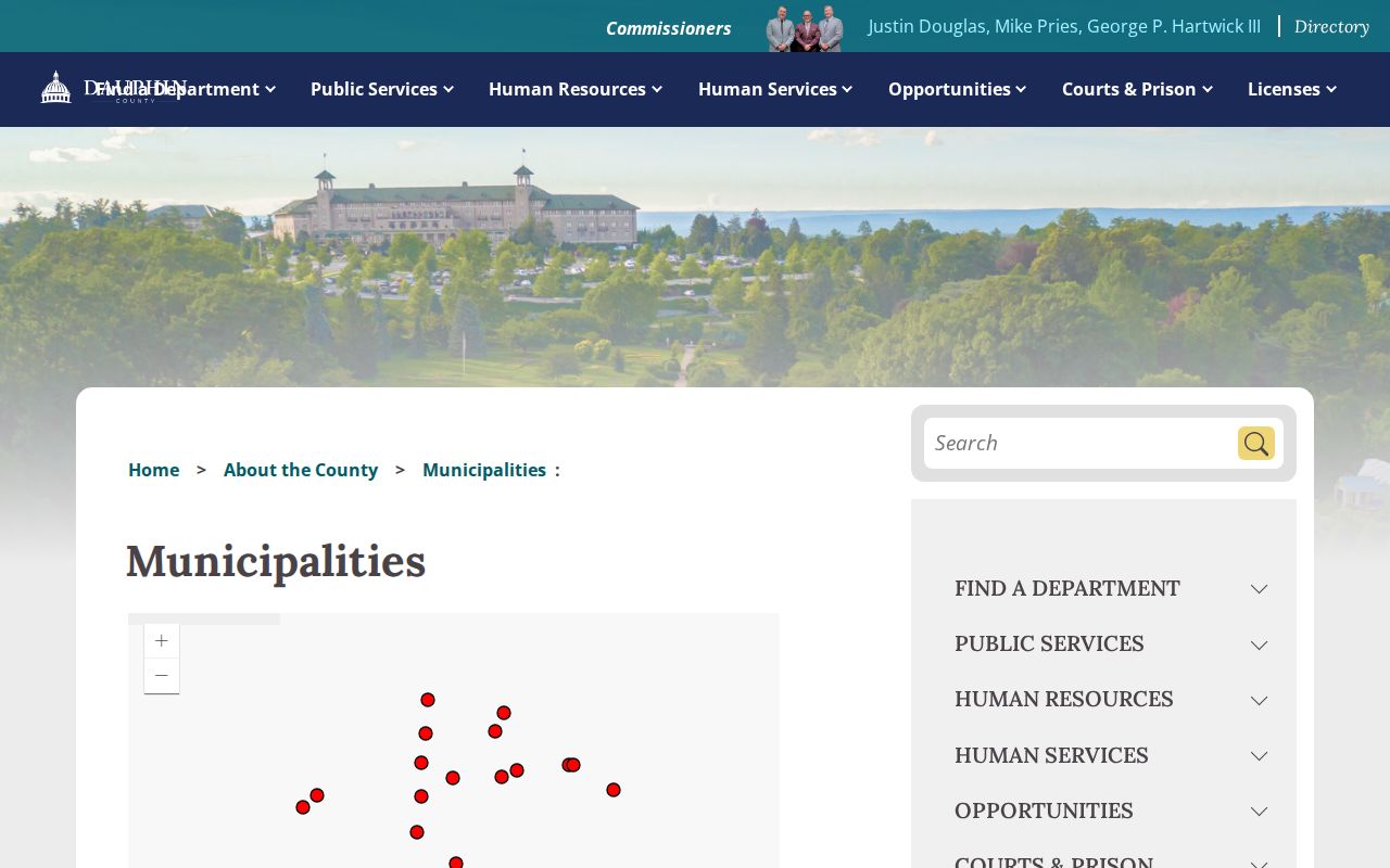
The County lists 40 city, borough, and township governments, but that list is not a neighborhood-association roster.
Parcel geometry and ownership data come from different county products. The Viewer can expose PID, municipality, property ID, land, acreage, web link, and street components. Property Info may show current owner, owner mailing address, situs address, assessment values, selected deed facts, lot size, building details, and a sketch. Follow the link from the map to the assessment card rather than assuming an owner from the polygon alone.
- PID or UPI
- The County parcel identifier that bridges map, assessment, and recorded-document work.
- Situs address
- The physical location of the assessed parcel.
- Mailing address
- The address used for tax correspondence, which can differ from the situs.
- Legal description
- The recorded land description used to distinguish a parcel from a similar street address.
Dauphin County Neighbor Deed History
The Recorder is the time layer for a selected neighboring parcel. Search AcclaimWeb by UPI or party name, then narrow by document type and date. Its modes also include instrument number, book/page, record date, consideration, municipality/comments, and Alpha Index. A grantor is the conveying party and a grantee is the party receiving an interest. Compare those roles, the legal description, plan, and parcel identifier before deciding that an instrument belongs to the same lot.
The Recorder of Deeds office capture points to the County office that controls the official recorded record.
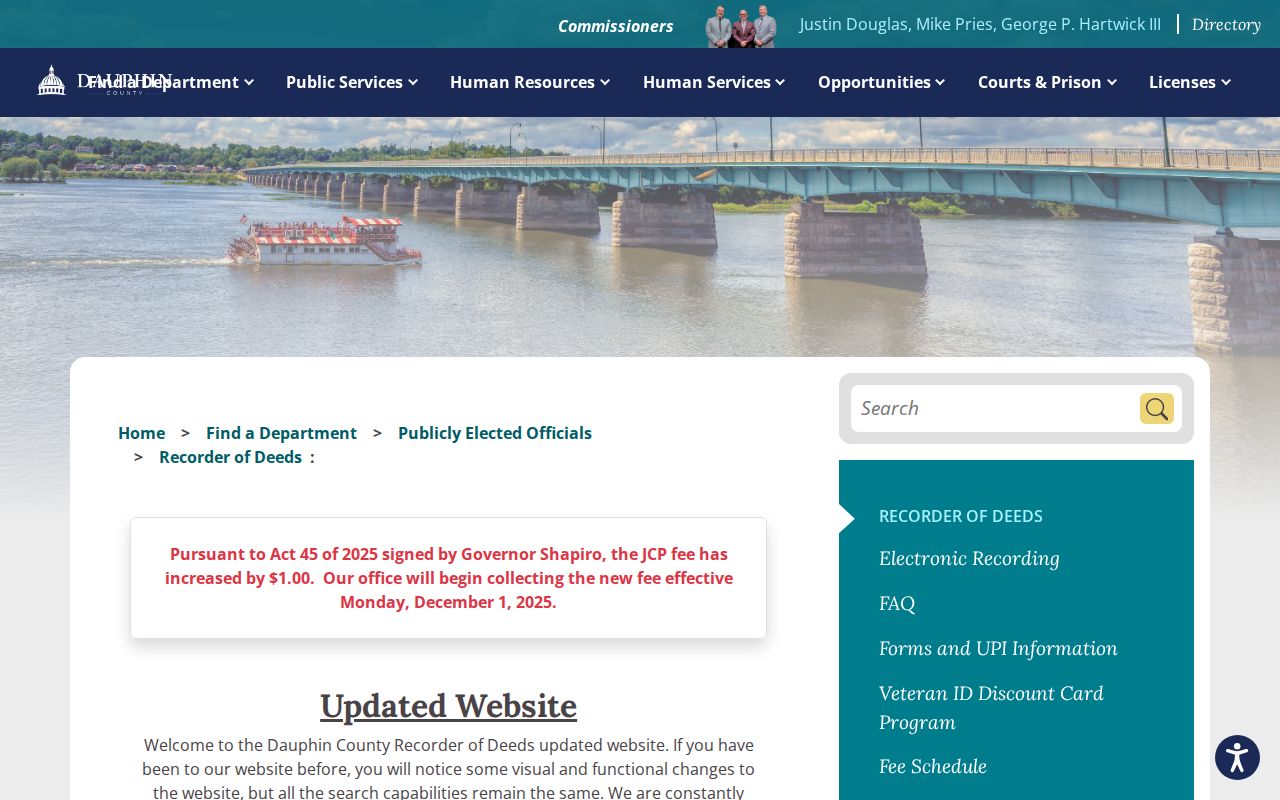
The Recorder counter is the fallback for an early instrument or a question that needs the official document rather than a search result.
The office says its historical deed and miscellaneous holdings reach 1785, while legacy index help describes a 1979 online-start statement. For early work, confirm the counter and Alpha Index path with Room 102 instead of assuming an image is online.
Dauphin County Voter List Boundaries
The individual Pennsylvania voter-status tool does not browse neighbors by address. A distinct statutory Street List may include name, residence or mailing address, party, and active or inactive status. The Walking List does not include mailing address. Both use the state request form, identity and purpose attestation, and the listed fee. Ballot choices, signatures, and SURE number are not public list output. A registration datum is not proof that every person on a block is currently present.
The Dauphin Registration and Elections capture identifies the County office behind local election administration.
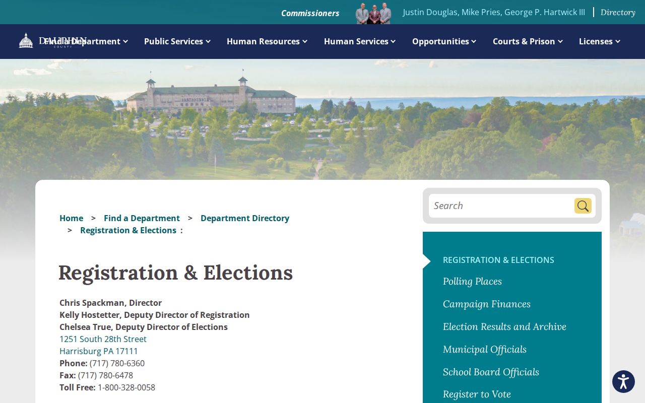
Use the individual tool only for its stated status purpose and direct statutory list questions to the elections office.
Dauphin County Community Contacts
No authoritative countywide public neighborhood-association or member roster was located in the reviewed sources. The County municipal directory is a reliable way to identify the correct local government, but a municipal listing does not establish participation in a civic group. The City of Harrisburg provides government and preservation resources, and a particular community organization may choose to publish a public contact. Do not infer membership from an address, municipality, or surrounding parcel line.
The Market Place neighborhood-association example capture shows a publicly offered community contact page.

Use only public contact information a group offers itself, never as evidence of a resident or membership list.
| Community question | Documented route |
|---|---|
| Correct city, borough, or township | County municipal directory |
| Harrisburg property history | Historic Preservation office or its published guide |
| Public association contact | That organization’s own current public page |
| Member identity | No Countywide authoritative public roster found |
Dauphin County Historic Block Clues
Historic context may explain why a block looks different in a modern map. Harrisburg’s preservation resources offer preliminary archival research and house-chronology assistance for a specific address and date span. The HARB considers exterior work in historic districts, and agendas or minutes can be address or project oriented. They are not a complete person search. The Historical Society directories and Sanborn materials are better used as dated corroboration alongside parcels and deeds.
The Harrisburg Architectural Review Board capture represents one address-oriented historic-district source.

A project agenda can give a property-history lead without identifying all neighbors on a block.
The Harrisburg Historic Preservation capture identifies the City’s historic-property research channel.
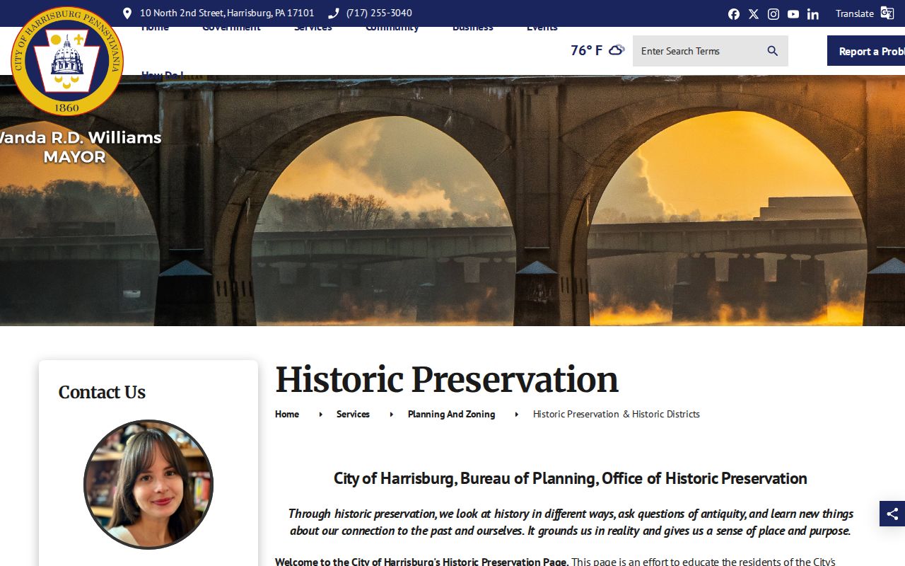
For older city addresses, compare Cameron Street with former 11th Street and Green Street with former Two and One Half Street before treating a missing entry as a break.
Dauphin County Official Records Compared
Official parcel, assessment, Recorder, voter, and municipal sources each show their defined administrative record. They provide a clear custodian, an access path, and a way to check a particular result. Commercial neighbor-list categories can combine property, marketing, and stale address material without showing how a claim was matched. They are not a substitute for the parcel card, statutory voter route, or recorded document.
| Official source | Best use | Important boundary |
|---|---|---|
| Parcel Viewer | Locate the physical lot and nearby geometry | Reference map, not an owner roster |
| Property Info | Check one parcel’s assessment fields | Owner is not necessarily occupant |
| Recorder | Date a recorded land connection | Recorded party is not current residency proof |
| Election route | Use the defined individual or statutory-list channel | Strict fields and purpose limits apply |
Independent records are more useful than a broad list because they keep the address, record purpose, and date visible.
Dauphin County Neighbor Privacy Limits
Parcel maps do not create a public roster of the people around an address. Unlisted occupants, household members, utility customers, delivery customers, protected addresses, and motor-vehicle data are not supplied by a normal parcel search. Pennsylvania’s Address Confidentiality Program gives eligible participants a substitute mailing address for certain listed records. Courts, vital records, and voter information have their own statutory restrictions. A missing entry can reflect an access limit, a different source, or a record date.
Note: For a suspected error, take the parcel, document, or record reference to the particular County or City custodian that maintains it.